Les statues-menhirs du musée Fenaille
Outrenoir dans une salle du musée Soulages à Rodez
Sculptures du musée Denys-Puech
Hôtel Mercure
Salle de restaurant du Café Bras
Carte touristique de l'Aveyron
Tyroliennes face à la cathédrale de Rodez
La Petite Créatrice - Rodez
La Petite Créatrice à Rodez
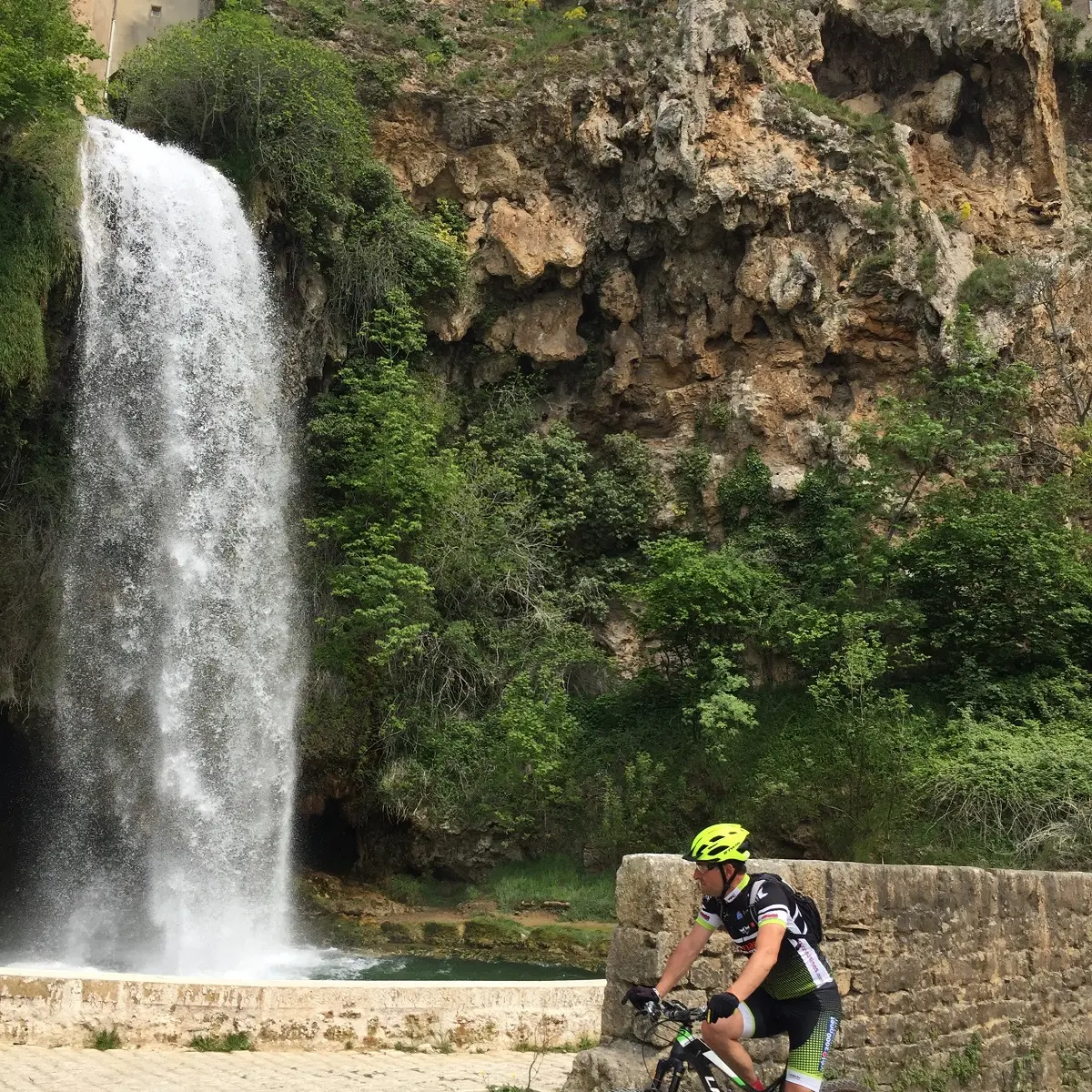
Najac en famille
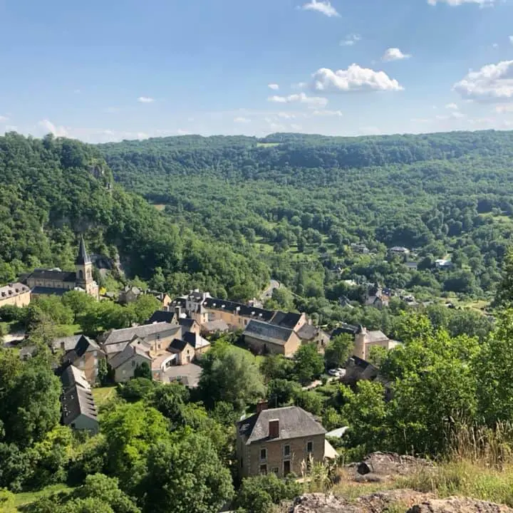
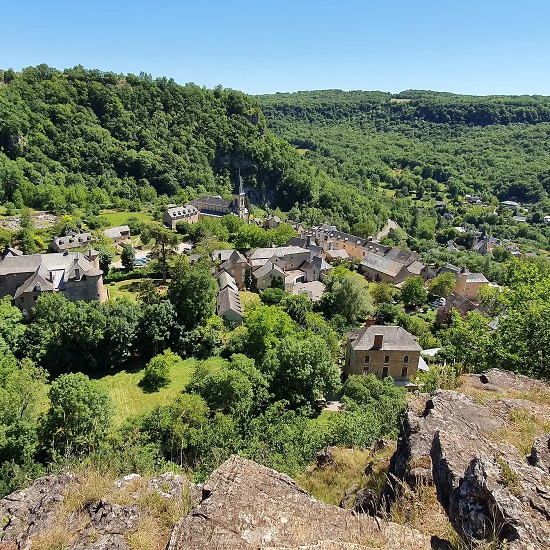
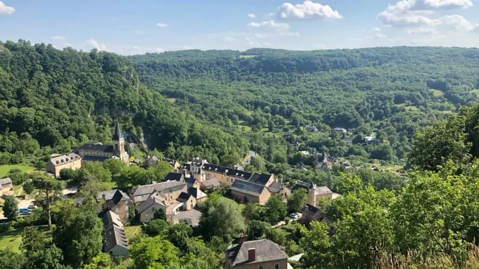
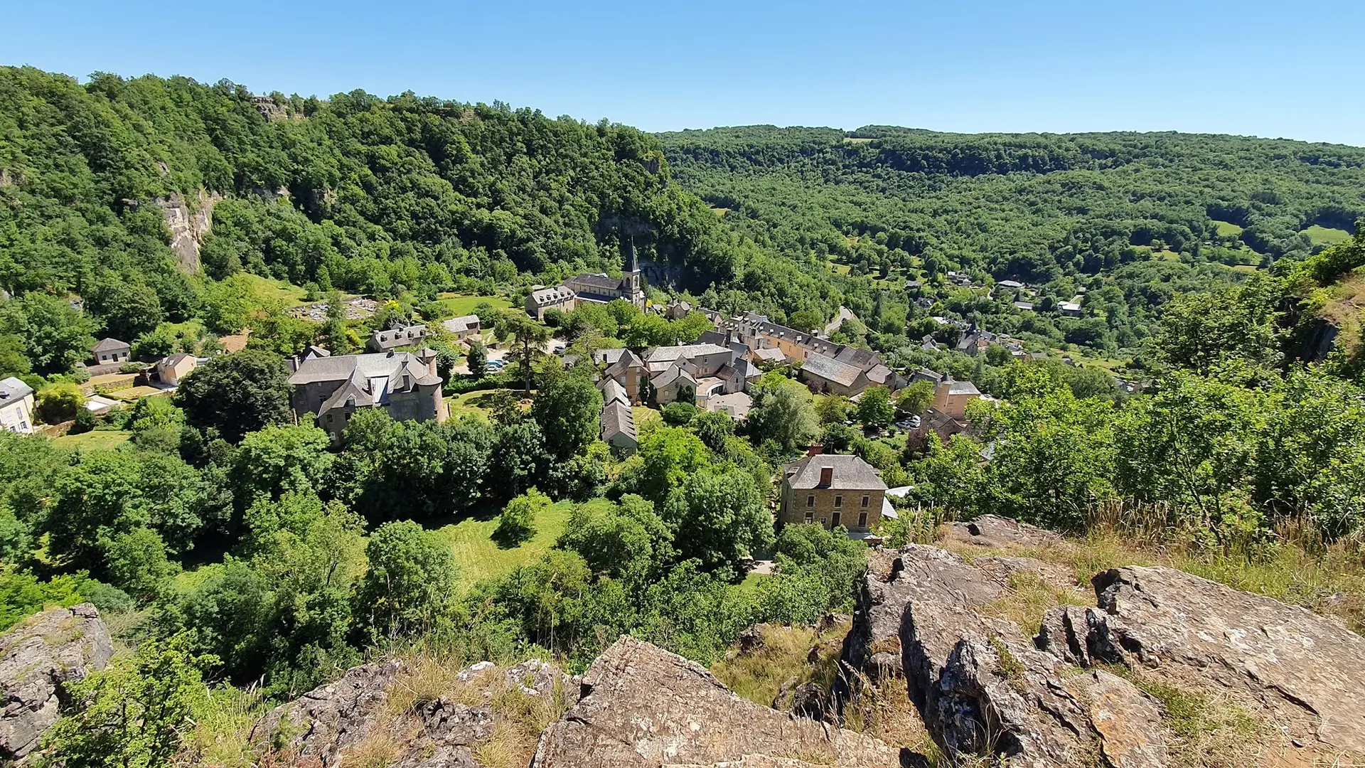
Abbaye Cistercienne du village de Conques
Ajouter aux favoris
Ben JaM
Camille Gamel
D.Bielka
Vue du musée Soulages et cathédrale à Rodez
|
P.THEBAULT - CRT Occitanie